A Resource for Mappers
Anyone who has an interest in orienteering maps and course setting will find a lot of useful information in these pages
Table of Contents. . .
A first step is to be safe. . .
An introduction to O-mapping for the novice
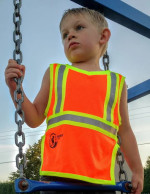
A first step is to be safe. . .
Wear a hi visibility vest
and always let someone know where you are going
1 Is safety an issue?
Yes, it always is.

Weather conditions are important considerations. State Forests and National Parks are usually formally closed if it is too hot.
2 Are you prepared for cuts, sprains and other injuries?

Always a good idea to have a basic first-aid kit handy.

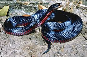
3 Do you know what to do if bitten by a snake?
No! You need to find out how to treat a snake bite.

4 The unexpected is always a possibility.
When a Nelson NZ doctor was checking an orienteering course she had a problem. She was tagging control sites.
One of the sites was mapped as a small depression. It proved to be 10m deep and on approaching it she slipped and injured her knee.
Dr Clendon was carrying a personal locator beacon in her backpack and set it off, put on extra clothing and, while she waited for help, she bandaged her knee. [From a report in the NZ Herald.]

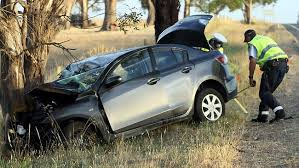
5 The unexpected can happen while driving.
Are you prepared?

6 Are you familiar with ONSW's safety requirements?
The ONSW Manual Section 4.3 lists event safety as the first step to consider when planning an event. These notes do not just apply to the day of the event. They apply to all stages leading up to an event. This includes the mapping field work.
A brief summary of the safety requirements:
Before, during and after the competition time, the mapper, course planner, controller and other officials need to be cognisant of their own safety. This should include the following:
- Undertaking activities in a manner appropriate for the weather conditions (consider both hot and cold weather).
- Taking a whistle (if this is expected of competitors on the area).
- If no one else is on the map, leave a map with a responsible person indicating where you will be, plus expected time of return.
- Take a mobile or satellite phone and/or a PLB with you.
- If you are in the forest, where shooters might be present or in an area with vehicle traffic, high visibility clothing should be worn.
- If working with others, know where each other will be working, expected time to meet, etc.
Other important safety information can be found on the NSW State Emergency Service's website: https://www.bsar.org.au/
Free apps are available for your mobile that give emergency services your GPS co-ordinates.
7 Preparing for your field trip
Take:
- Usual bushwalking gear: clothes, food, water, first aid kit, hat, sunscreen, etc.
- If in a remote area consider taking a firelighter, head lamp and lightweight emergency blanket.
- PLB, mobile phone…
- Mapping board, pencils, rubber, compass, GPS (or computer?)
- Drafting film – buy at art supply shop, tape basemap onto drafting film & then tape onto your board

8 Are there hunters in the area?

A check with the area's administering authority is always a good idea. Always make certain that your access is legal and authourised.
This NSW Government website has useful information on hunting in State Forests:
Hunting "where-can-i-hunt"
National Parks also have information on closures for pest control in their parks:
National Parks Pest Control
Unauthorised hunters are probably a greater risk.
Always wear a high visibility top.

9 What is the likelihood of wild dogs in the area?
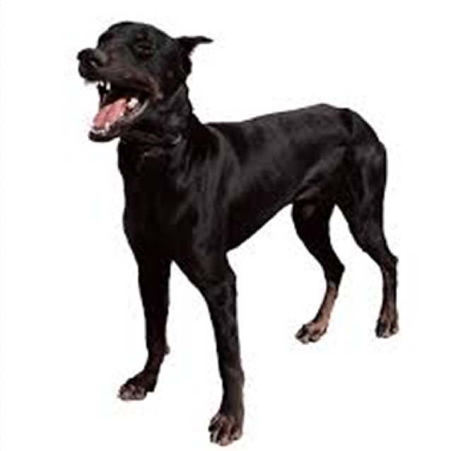
Again, the administering authority may have some information.

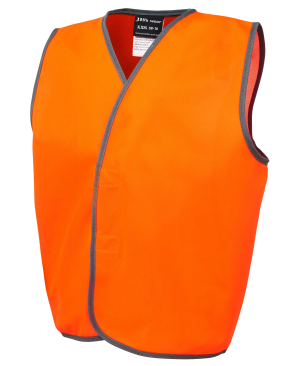
Safety vests are
inexpensive
10 Preparation for the cartographer
If someone else is drawing up your fieldwork ensure they understand your fieldwork.

This section is based on a presentation by Andrew Lumsden, Technical Director, ONSW, with updates and emendations.
11 Download the
Emergency App
NB Don't take it for granted that your mobile phone will work. Remote areas may be poorly served. Check if your fieldwork area is covered.


BluLink (added 2024-08-26)
When you call Triple Zero for police assistance in an emergency, you may now receive a text message.
The NSW Police Force BluLink platform allows you to share information with police such as your location or live video. Use of the platform is not mandatory, you will be asked to provide your consent via the link provided.
How it works:
- In an emergency, call Triple Zero (000).
- If the operator requires further information, they will send you a text message.
- Tap on the link to open the BluLink platform.
- You will then be able to share information such as your GPS location, stream live video, or have a text message conversation if you’re in a situation where you’re unable to speak.
How it can help:
Police will use the information you provide to help provide assistance, such as if you’re unaware of your exact location.
You can provide live video from your location, to show police what is happening.
Messages can be translated into more than 100 community languages.
In some cases, police may provide a link to allow you to upload files such as photos or video to help with investigations, or provide a statement to help with investigations.
The link you receive is a one-off link that is available to only you and Police, meaning the information you provide is secure. BluLink is powered by the GoodSAM platform.
There’s no need to download anything before using it. As BluLink is provided through a web portal, you will require data access.
The above is copied from the BluLink - NSW Police Public Site
