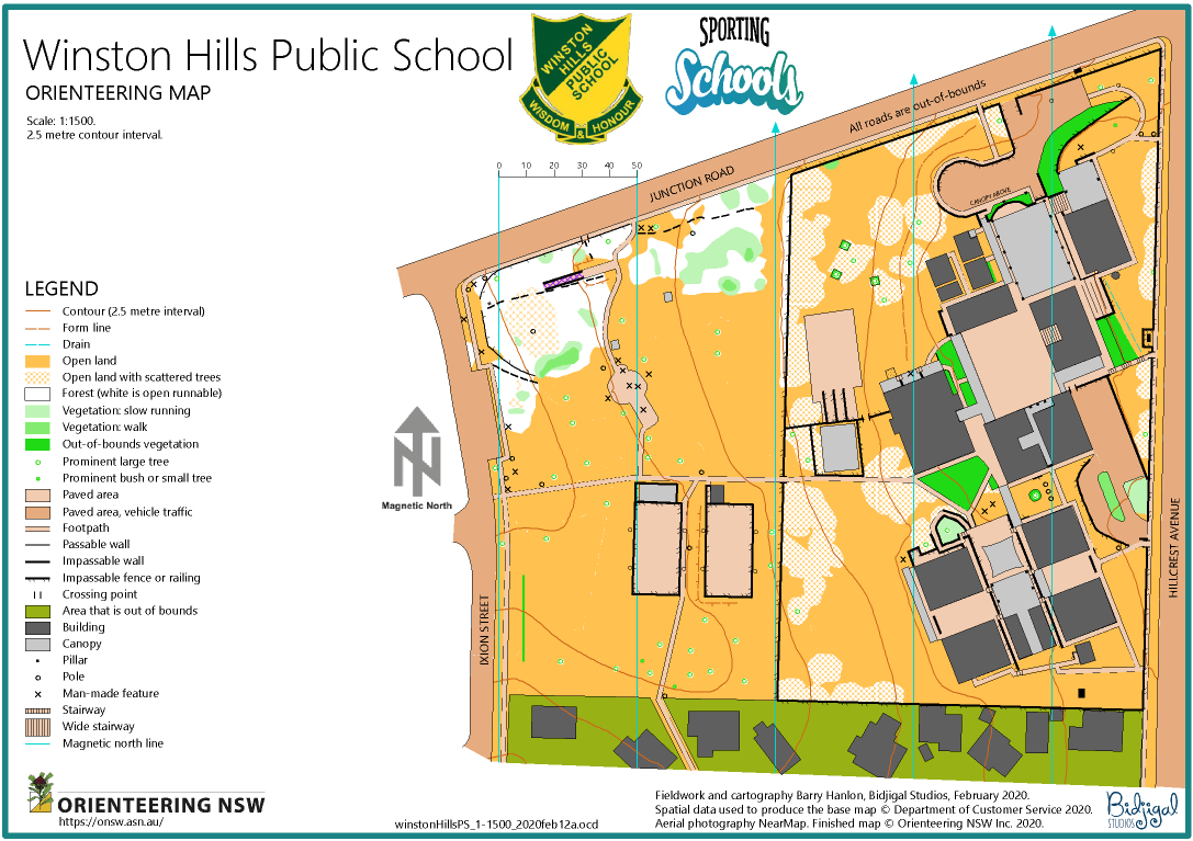
Winston Hills Public School map was created for the Sporting Schools Program.
The map updating process for course setters
Most orienteers get involved with map-making the first time they are given an opportunity to set courses.
Very early in their course planning process they realise that maps are always out-of-date and some revision will be needed for the event they are setting courses for.
They will start their planning on a map provided by their club’s mapping officer. Then they probably begin with some armchair planning followed by a visit to the area to check out their course plans on the ground and tag control sites. It is at this point that it becomes obvious to them that some updating of the map is required.
The course setter will have made a set of field notes during their visit to the area about the updating needed for their event. For their next step they have a choice:
- to have an experienced mapper do the updates for them, or
- to do the map updating themselves.
You are interested in the mapping process, so you have chosen step 2.
How do you start? What do you need to know?
Before you begin the first question is “What do you know about map making theory?”. At this stage the full theory may be a bit daunting, but you need to know the basics. They can be found here:
https://onsw.asn.au/introduction-to-o-mapping
You are now ready to begin the updating process.
There are still some questions to be asked:
- Do you have map drawing software? You will need OCAD or OOM (Open Orienteering Mapper). Your club may be able to provide you with a licensed copy of OCAD or you can download OOM for free.
No matter what program you decide to use it is advisable to use the latest version of the software (one good reason is that mapping standards change and the latest software is likely to incorporate the changes).
[NB. There is an inexpensive course setting version of OCAD. It is not suitable for map revisions.] - Do you have the latest version of the map? Check with your club’s mapping officer.
- Do you need an updated base map? Ask the ONSW Mapping Officer to help with a new base map from the latest spatial data and aerial photos? If the revision is major these resources are likely to be very useful.
- Is the map is georeferenced? This is useful if you plan to do your field checking with a gps handheld device and you want to position your tracks and waypoints accurately. You may also have received georeferenced aerial photographs from the ONSW mapping officers. Positioning these resources in your mapping software is easy when the map is georeferenced. However, while georeferencing is desirable it is not essential. If your map is not georeferenced these resources can still be used. Talk with your club’s mapping officer about how to do this. The "Help" files in OCAD and OOM also show how you how to position aerial photographs and scanned field notes as background maps. (Read more about georeferencing.)
- Does the map have the latest symbol set and colours? If the map you are updating was last revised prior to 2020 it probably has an old symbol set. Talk to your club's mapping officer about whether or not it is desirable to have the latest symbol set and colours or not. In many cases it will be OK to update the map as it is. If it is decided that the symbol set should be updated your club's mapping officer will arrange to have this done before you start revising the map. (This is an advanced skill and, as a novice map updater, you will not be expected to bring the map up to the latest standard.)
You are ready to do the updating.
More questions:
- Are you familiar with your software? OCAD and OOM have extensive online help pages.
https://www.ocad.com/wiki/ocad/en/index.php?title=Main_Page
https://www.openorienteering.org/mapper-manual/pages/ - Do you have an experienced mentor? Your club will have experienced mappers who can wear the mentor’s shoes. Keep your eyes open for courses which ONSW runs from time to time.
The map has been updated.
What do you need to do next?
- Does your map meet the basic criteria for a good O-map? Review the theory basics. If unsure about any point check with your mentor and/or the IOF mapping standards, you can find them here:
International Specifications for Orienteering Maps
.png)
You are now ready to complete your course planning.
- Recheck your courses in the field.
- Have your event controller, or an experienced orienteer double check everything.
Everything checks out. You are now ready to have the map printed.
Back to Mapping Resources Home page